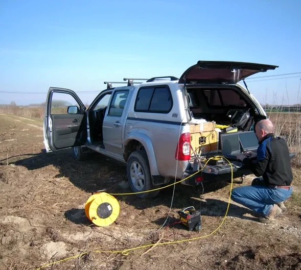
We keep seeing the same mistake in Belleville. A firm drills three boreholes, hits shallow limestone, and assumes the bedrock surface is uniform across the entire site. Then excavation starts and the rock profile looks nothing like the boreholes suggested. That assumption costs real money. Seismic tomography gives you the continuous bedrock surface between boreholes. Not a guess. Not an interpolation. An actual measured profile. The city sits on the Paleozoic limestone of the Lake Ontario basin. Rockhead varies fast here. Fresh limestone at three metres can drop to nine metres in twenty metres laterally. Refraction and reflection tomography map that variability before you price the earthworks. We run these surveys across Belleville year-round, including winter work on frozen ground near the Moira River industrial parks.
Seismic tomography replaces the guesswork between boreholes with a measured, continuous profile of the bedrock surface and subsurface layers.