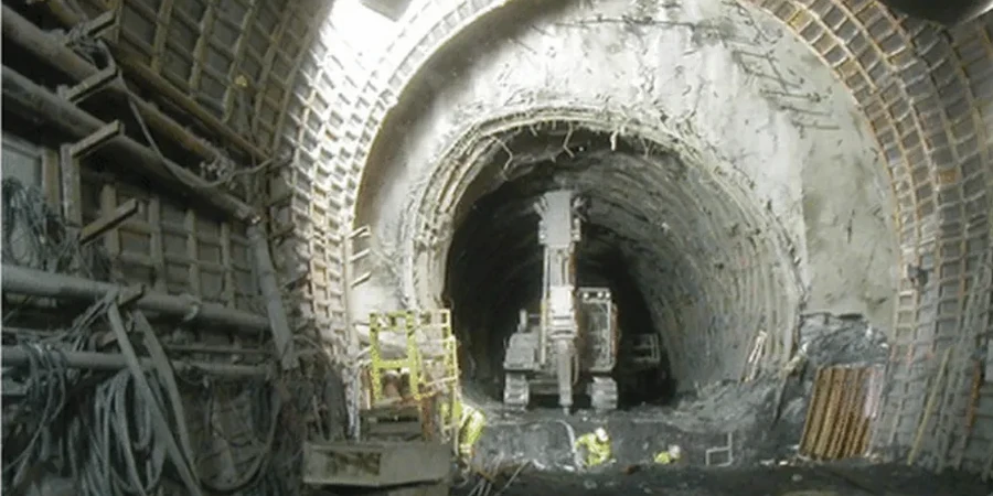
Crossing from the historic downtown core near the Moira River to the newer commercial corridors north of Highway 401 reveals a subsurface that demands fundamentally different tunneling strategies. The south end sits on deep, post-glacial marine clay deposits—locally known as Leda clay—while the northern reaches transition into stiffer glacial till over limestone bedrock. A tunnel alignment bridging these two geotechnical realities in Belleville Ontario requires more than standard soil borings; it demands a continuous CPT test campaign to map the clay sensitivity and an integrated slope stability assessment where the tunnel portal approaches the riverbank. The city's 55,000 residents live atop a stratigraphy shaped by the Champlain Sea, and every underground project through Belleville Ontario must account for the brittle, strain-softening behavior that makes these soils notorious in Canadian geotechnical practice. Our analysis framework for Belleville Ontario tunnels integrates piezocone dissipation tests, laboratory triaxial on undisturbed Shelby tube samples, and numerical modeling calibrated to local case histories from Ontario Ministry of Transportation archives.
Sensitive Leda clays in Belleville can lose 80 percent of their undisturbed strength upon remolding—a behavior that governs tunnel face stability and settlement trough width.